

#DiscoverWithVSU: Why are some soils in Eastern Samar red, and what does that mean for farming?
- Details
- Written by Mike Laurence V. Lumen
-
Published: 04 September 2026
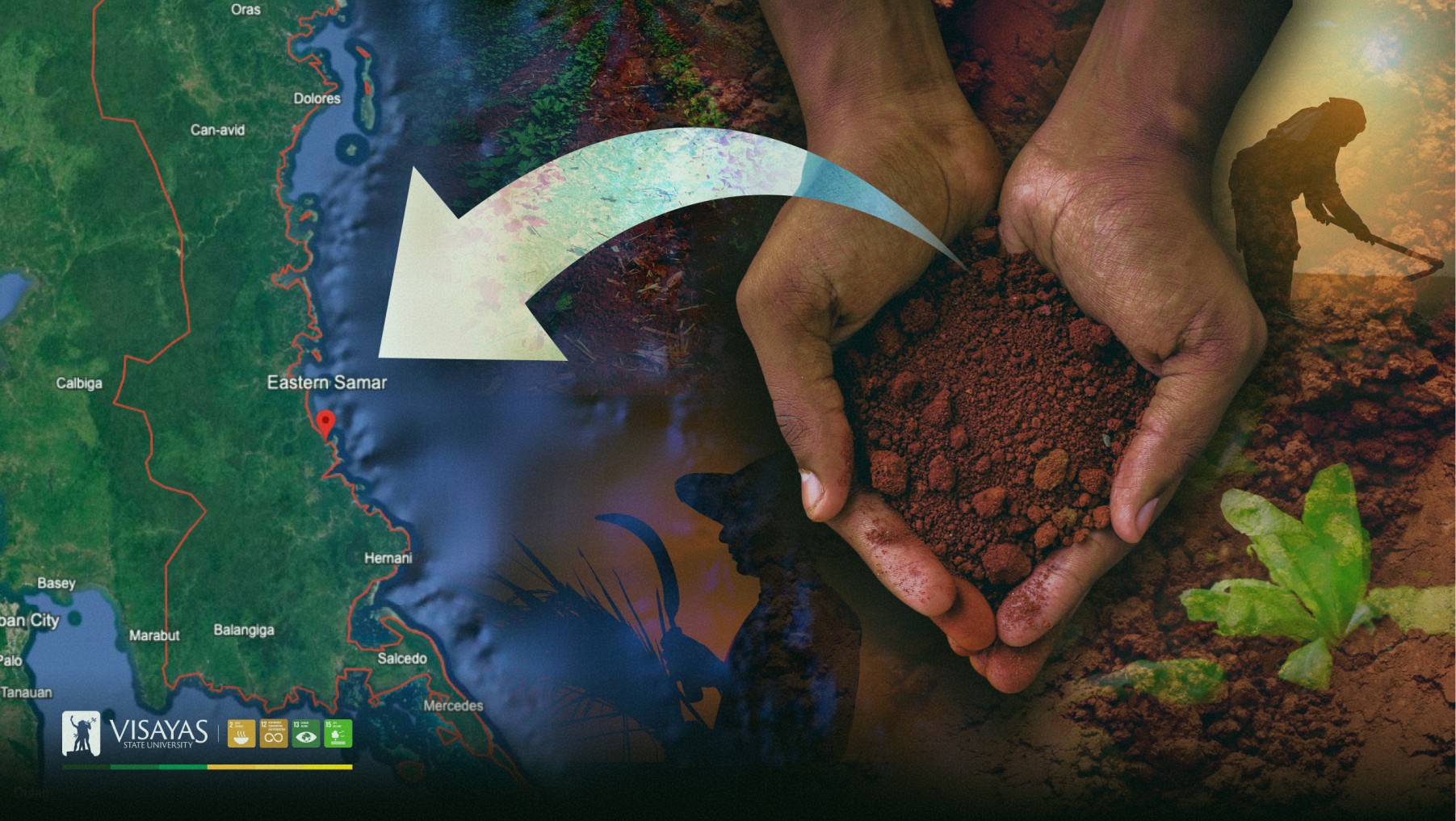
Not all soils are created equal.
In parts of Eastern Samar, farmers work with soils that have been changing for thousands, even millions, of years. These soils developed from ophiolitic rocks. These rocks originated from the Earth’s oceanic crust and upper mantle and were later brought to the surface through geological processes.
A new study involving Visayas State University (VSU) researchers takes a close look at these unusual soils and explains why some of them can be difficult for crops to grow in.
The study, “Pedological and geochemical characteristics of highly weathered soils derived from ophiolitic rocks in Samar, Philippines,” was led by Ms. Jertz Vlyn D. Escala, who is affiliated with the Department of Soil Science of VSU (VSU-DSS) and is a PhD candidate at Kasetsart University in Thailand. Dr. Ian A. Navarrete of Southern Leyte State University, Dr. Marvin D. Cascante of National Taiwan University, and Dr. Victor B. Asio of VSU-DSS co-authored the study.
Published in the Eurasian Journal of Soil Science in 2026, the study examined five soil profiles in southern Eastern Samar, in Balangiga, Quinapondan, General MacArthur, and Hernani to find out what these soils are made of and how their geological origin affects their condition.
The story begins with the rocks beneath
The soils were found to have developed from the Samar Ophiolite Complex, an extensive geological formation in Eastern Samar. The rocks range from mafic to ultramafic, meaning, they contain relatively high amounts of minerals such as magnesium and iron.
Over a very long period, the warm and wet climate of Samar helped break down these rocks. Rainfall repeatedly moved some elements deeper into the soil or out of the soil altogether.
The result is what soil scientists call highly weathered soil.
In simpler terms, these soils have gone through so much natural chemical change that many of the nutrients originally present in the rocks have already been washed away.
The researchers found that the soils were generally acidic, with pH values ranging from 4.97 to 6.45, and had low levels of several nutrients important to plants, including available phosphorus, potassium, calcium, and sodium.
Why does this matter to farmers?
Think of soil as a pantry for plants.
A crop needs access to the right nutrients in the right amounts. But in these Eastern Samar soils, the researchers found that much of the calcium, magnesium, potassium, sodium, and other elements had already been lost through weathering and leaching.
The problem becomes more apparent when we look at the calcium-to-magnesium ratio.
The soils were generally dominated by magnesium, while calcium was relatively scarce. In the most highly weathered profiles, the calcium-to-magnesium ratio was below 1.0. This imbalance can make it harder for plants to obtain the nutrients they need.
The researchers also found low organic matter and total nitrogen in the soil profiles. They noted that periodic burning and shifting cultivation may have contributed to the low organic matter and nitrogen levels, alongside the natural processes that formed the soils.
This helps explain why some upland areas associated with ophiolitic soils have historically shown low crop productivity.
But there is another element worth watching: nickel (Ni). The study also measured extractable Ni in the soils.
Nickel naturally occurs in the ophiolitic rocks from which these soils developed. The researchers recorded extractable nickel concentrations ranging from 0.16 to 22.40 mg/kg, with the highest value found in one of the deeper soil horizons of Profile 4 in General MacArthur.
Chromium was also relatively enriched in some profiles.
But the study does not conclude that these soils are automatically unsafe for growing crops. The researchers specifically note that the possible effect of nickel on plants needs to be examined further through studies of actual plant uptake and tissue toxicity.
Numbers in a soil test per se do not tell the whole story of what a plant absorbs.
So what can communities take from the study?
A soil's color or appearance does not tell us everything about its capacity to support crops.
The study examined five locations and found differences even among soils formed from the same broad geological environment. Some profiles had higher calcium levels and more favorable calcium-to-magnesium ratios than others, particularly Profiles 2 and 3.
For farmers and agricultural practitioners, this points to the need for site-specific soil testing before deciding what crops to plant or what soil amendments and fertilizers to apply. A recommendation that works in one field may not work in another field only a few kilometers away.
The study also provides a useful reminder about protecting the soil itself. Since the researchers observed low organic matter and nitrogen and linked some of these conditions to burning and shifting cultivation, maintaining vegetation and reducing practices that further deplete the soil can help protect what remains of its productive capacity.
Reading the soil's long history
What makes this research particularly interesting is that the soil tells a geological story.
The five profiles were classified as Ultisols and Oxisols, both associated with advanced weathering. The researchers used several measurements, namely the Chemical Index of Alteration, Chemical Index of Weathering, Modified Weathering Potential Index, and Vogt ratio, to trace just how extensively the soils had changed. The results showed substantial weathering and loss of major nutrient elements.
Findings point to a simple lesson for anyone working with land in Eastern Samar: before asking what crop the soil can grow, it helps to first ask what the soil itself is made of.
And sometimes, the answer is written in the rocks beneath our feet.
This article is aligned with SDG 2: Zero Hunger; SDG 12: Responsible Consumption and Production; SDG 13: Climate Action, and; SDG 15: Life on Land.